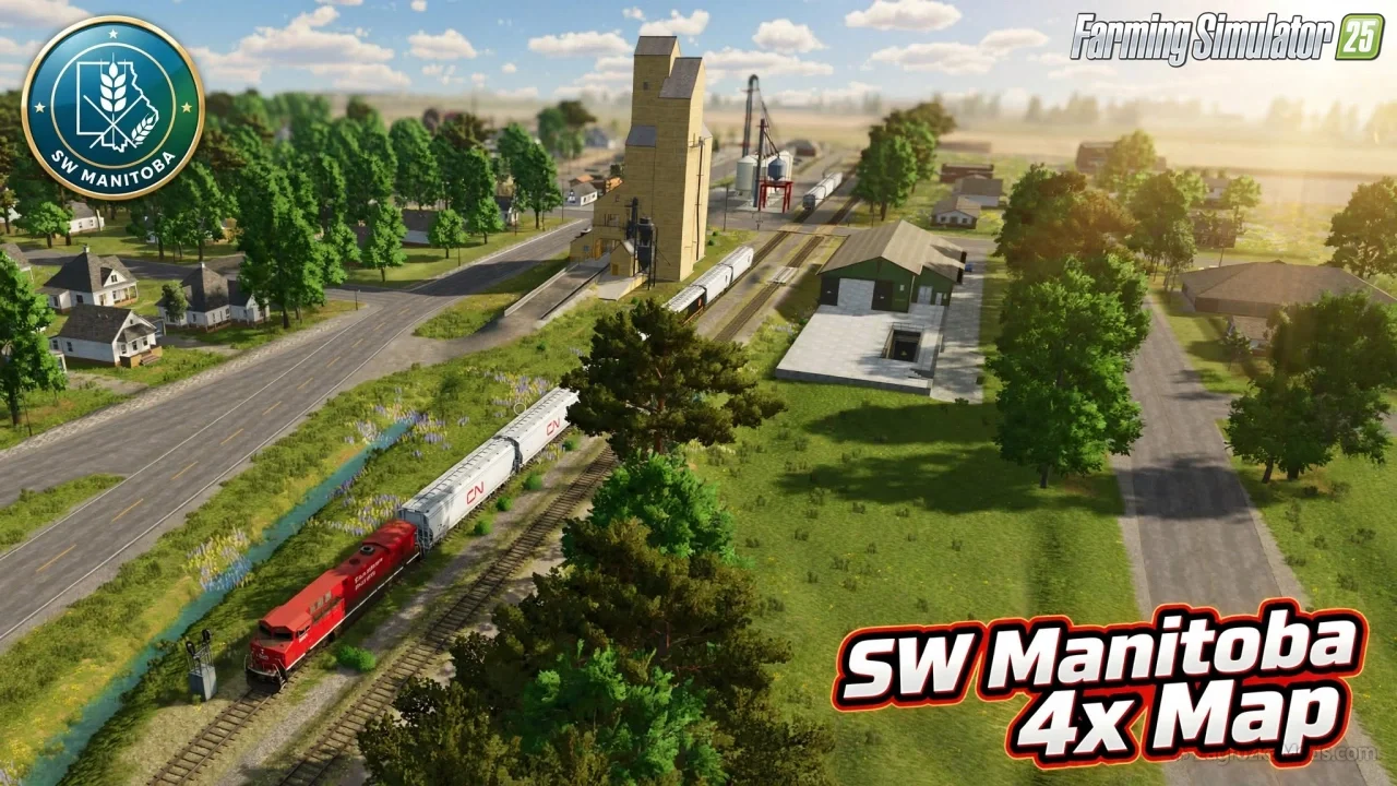
🗺️ SW Manitoba 4x Map for FS25 - this modification brings an authentic 4x km Manitoba Prairies map to Farming Simulator 25, featuring 35 realistic fields (160–320 acres), multi-fruit/multi-terrain support, NH3 readiness, train logistics, and immersive Canadian prairie farming with integrated community mod assets.
Features SW Manitoba 4x Map:
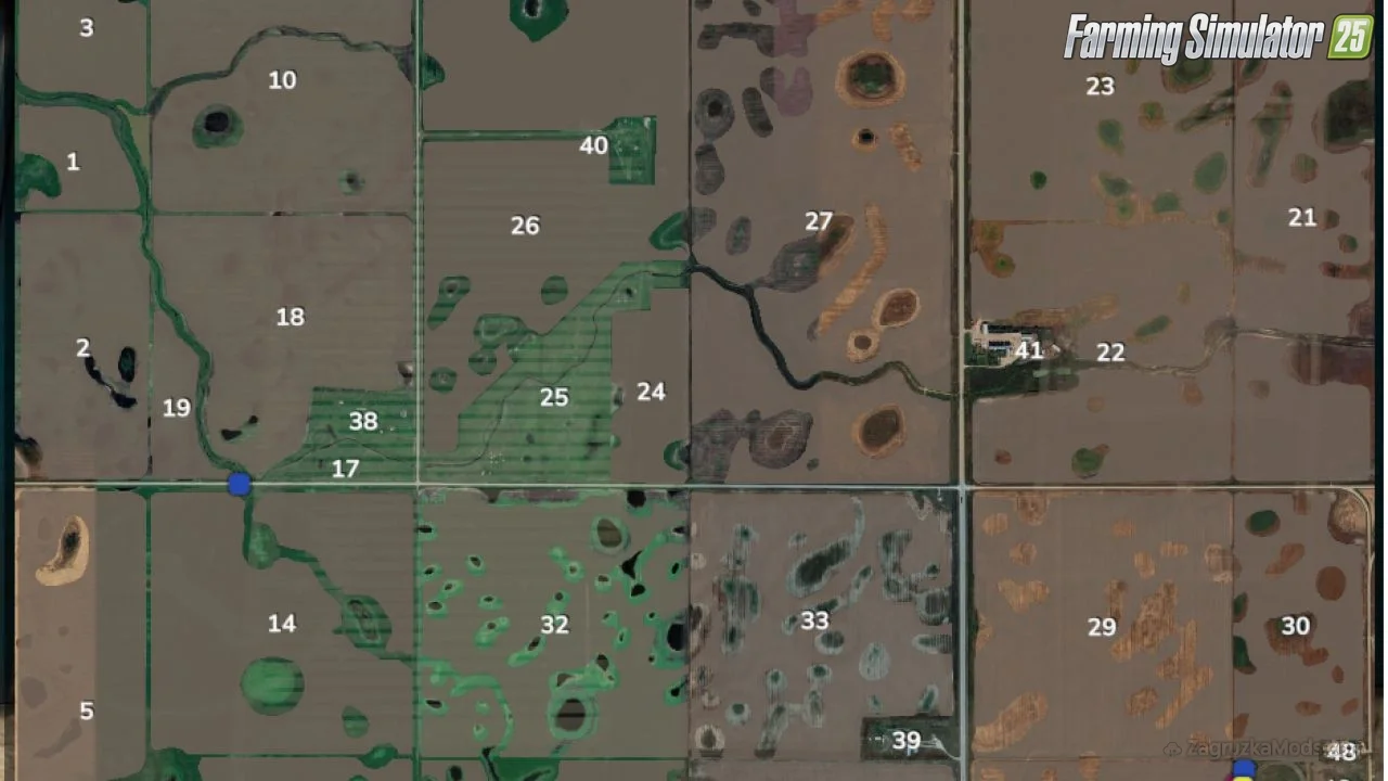
– 🌾 35 fields of varying sizes (160–320 acres), plus small island fields and dedicated grass pastures
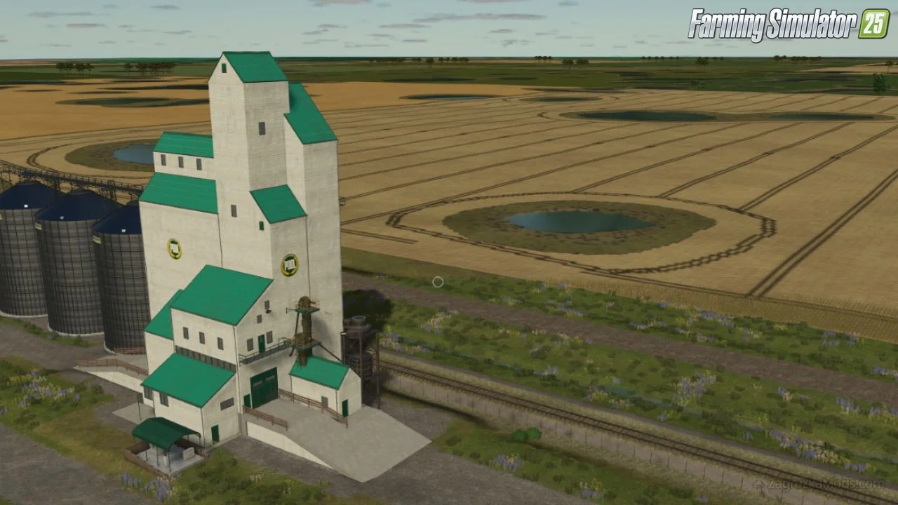
– 🚂 Train system with town sell point for crops and bales
– 🏭 Centralized chemical yard: anhydrous, propane, BGA sell point, silage bunkers, liquid fertilizer fill
– 💧 Municipal water well near Field 19 for irrigation needs
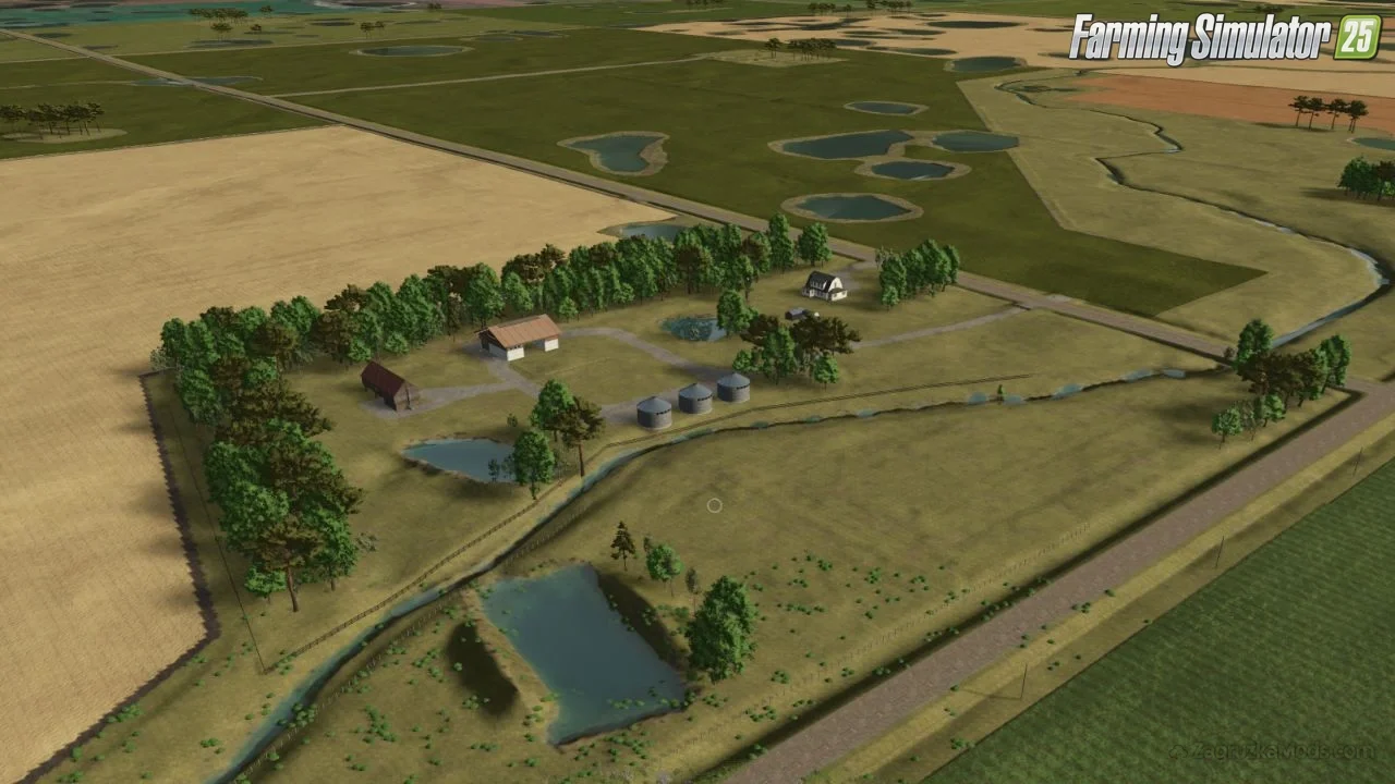
– 🏘️ 10 farm yards (4 prefabricated), reorganized town buildings with flour mill, curbs, signage, sidewalks
– 🌱 Multi-fruit, multi-terrain, and NH3-ready with customized seasonal calendars for regional accuracy
– ✂️ Custom script: enables grass/aquatic vegetation mowing on non-buyable lands; regenerates in September for second cut
– 🚜 AI spline optimizations for better worker routing and CoursePlay compatibility
– 🪪 Manitoba license plates (WittyMods) + authentic prairie weather and foliage
Changes in v1.0.0.3:
– 🆕 Integrated custom yield-correction script + grass/aquatic vegetation mowing with September regeneration
– 🔧 Removed dead-end productions; corrected oil, canned goods, and groats production lines
– 💧 Added water fill type to integrated livestock barns; corrected farm buildings to be sellable
– 🏘️ Reorganized town buildings (flour mill access); added decoration features
– 🌾 Corrected silage maize calendar and customized maize seasonal periods
– 🌦️ Adjusted environment for traditional prairie weather; softened Field 26 corners for CoursePlay recognition
👉️ Tested on game version 1.21.x+
SW Manitoba 4x Map v1.0.0.3 for FS25
 Available
Mod InformationCore details, compatibility and publication data
CategoryFarming Simulator 25
Game Versionv1.21.x
CreditsKrazyKanuck, Maps4FS, Snakebizzle, Schultz Modding, MrHector, RowCropSpecial, Dogface, Collins Custom Modding, Antler22, MA7Studio, Setka Simulators, TakerLS, BCBhuler, ShowMeDirt (NH3), WittyMods
Mod ID23492
Comments0
Published8-09-2026, 21:04
About this Mod
Changes in v1.0.0.2:
- cleaned up artifacts in a few fields
- cleaned up snow mask for ai travelled routes (WIP still more to work)
- rounded corners and removed sharp/confined turns in a few fields
- fixed grass foliage mowing and added mowing of aquatic foliage
- added the ability to mow and bale the road allowances
- the integrated animal barns now accept bales
Download Links – Policy & Disclaimer
All download links on this page point to third-party hosting platforms (e.g. ShareMods, ModsFire, ModsBase and similar trusted mod hosters). Links are reviewed at the time of publishing, but we cannot guarantee the permanent availability or content of external websites.
- All mods listed here are checked for malware before being published.
- We are not responsible for ads or additional content shown on third-party sites.
- If a link is broken or leads to incorrect content, please contact us and we will update it promptly.
- To request removal of a link, contact the admin. Removal is at our discretion unless required by law.
By downloading, you confirm you have read and agree to our Terms & Conditions.
 Previous ModKiselevka 4x Map v1.0.1.2 for FS25View previous mod details
Next ModHagenstedt Map v1.5 for FS25View next mod details
Related ModsSimilar Mods to try
 v1.6.x
Nietwerder Map v1.0 for FS25
Farming Simulator 25
Nietwerder for FS25 - is located in the beautiful Oberpriegnitz and is a neighboring town of Neuruppin, Gildenhall and Alt Ruppin. The Lindenzentrum is also partially built on. The elevation model...
 v1.9.x
Ray County, Missouri Map v1.0 for FS25
Farming Simulator 25
Ray County, Missouri Map for FS25 - is a highly detailed map that uses real-world elevation data to accurately represent the roads, farms, railroads, and fields of its namesake location. Designed for...
 v1.18.x
Gnadenthal Map v1.3.0.1 for FS25
Farming Simulator 25
🌾 Gnadenthal Map By Iron Thunder for FS25 - is located in Manitoba, Canada. The map is based off the real town of Gnadenthal and the fields around it, but quite a bit of things were changed to...

